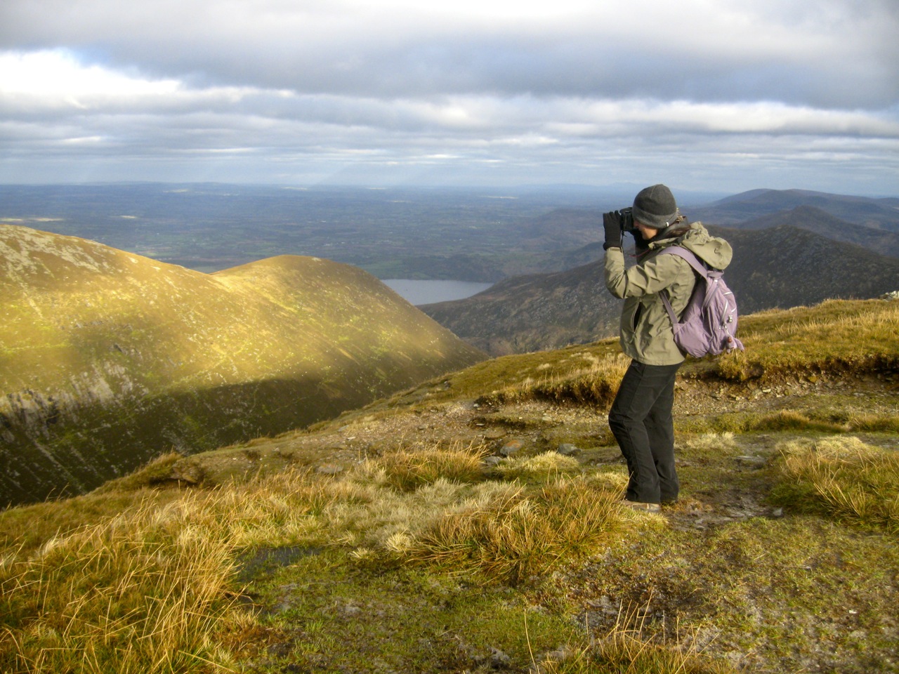
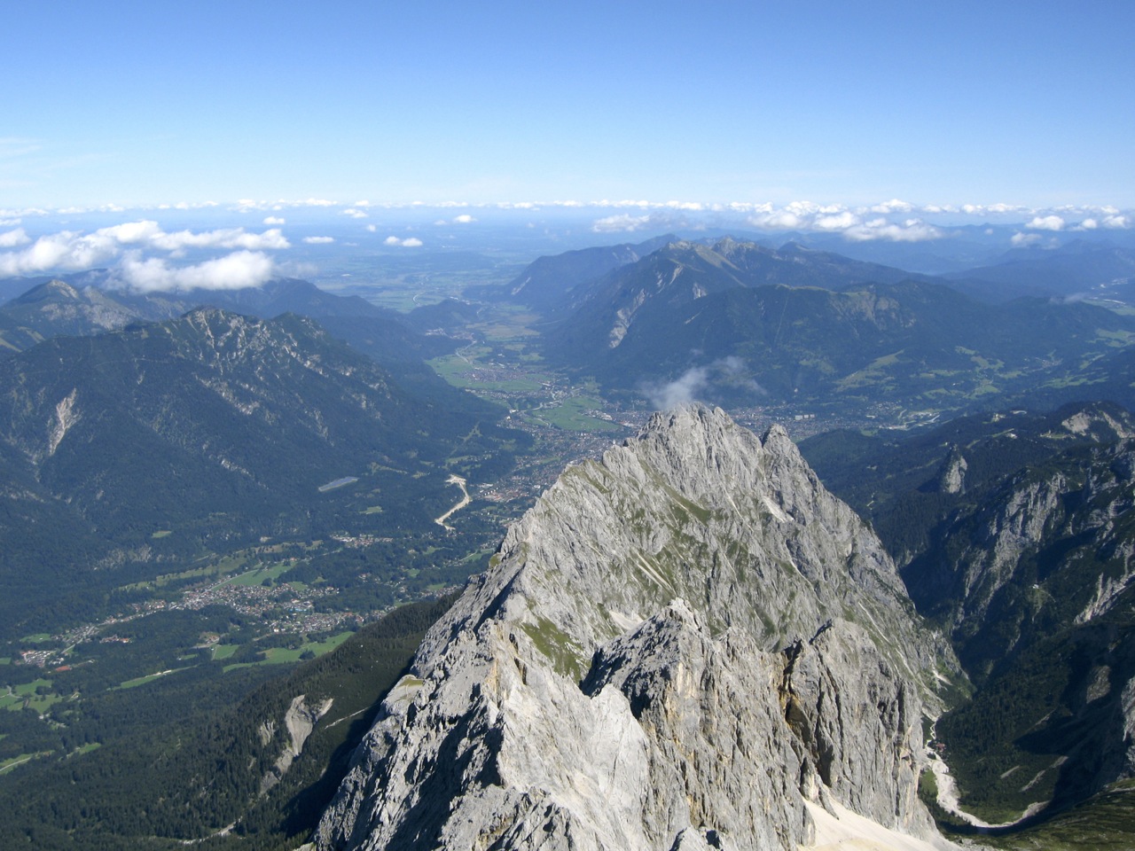
Yesterday I went on a walk to Galteemore, the highest inland mountain in Ireland, just over 3,o00 ft high and the smallest of Ireland’s 14 munro’s.
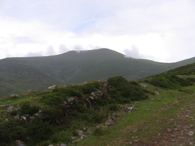
Galteemore is part of the Galtee range in South Tipperary. The mountains stretch about 20km in an East-West direction – roughly-speaking from Cahir to Mitchelstown. The main Dublin-Cork road skirts around its southern and eastern flanks. The Galtee’s are part of the same mountain building event that formed the extensive ridge-valley system of South west Ireland. North of the Galtees the sandstone ridges begin to disappear and the flatter terrain of the Irish Midlands begins.
I found the walk to the top quite easy, not to say picturesque. The col between Galteemore and it’s smaller sibling, Galteebeag, shows signs of ancient “bog bursts”, or landslides, where entire sections of peat seem to have fallen into the corrie lake below, exposing the solid rock base.

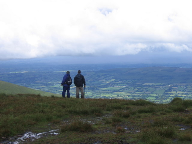
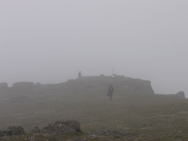
From the summit of Galteemore it is possible to see an amazing amount of southern Ireland: Waterford, Kilkenny, Cork, Tipperary, Limerick: possibly even Kerry, Clare and Carlow. Unfortunately I was unable to see anything at the summit as quite a dense fog closed in.

Fabulous photos, W.
Interesting to see how much farming there is in the Glen of Aherlow. A nice contrast between the managed floor of the glen and the unfarmable higher ground.
Hi T, That’s pretty much the way it is here. The Galtees are in the middle of the Golden Vale, one of the richest agricultural areas in Europe. They really dominate the landscape, particularly if you are taking the train from Cork to Dublin.
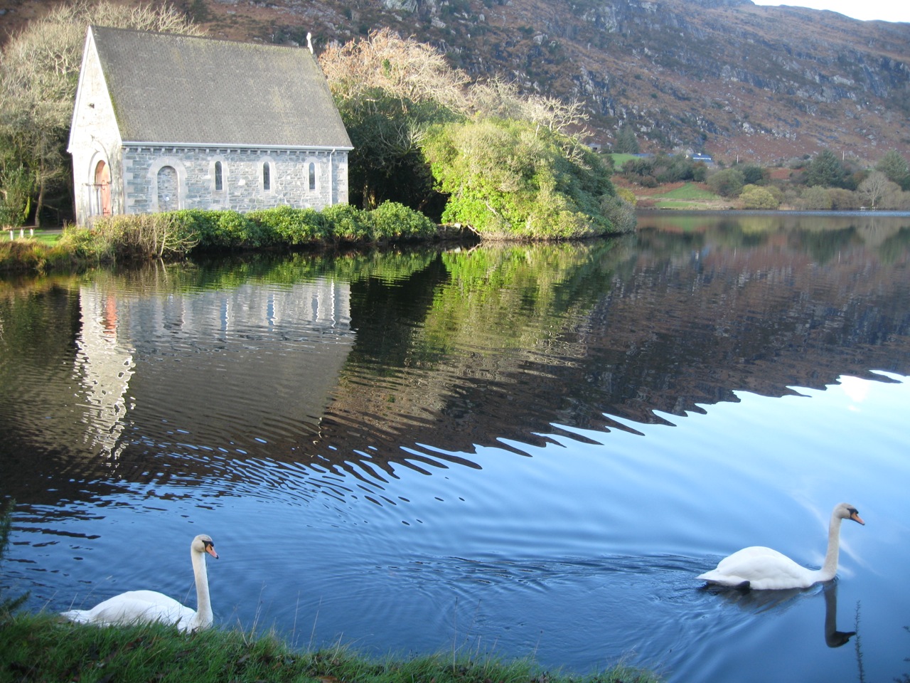
I absolutely love the view in that third photo!
We don’t have mountains in Illinois. Maybe, once the weather cools off, we should take a road trip, though, and visit one of the State Parks.
So the land in the valleys between the mountains is quite conducive to farming? Livestock, vegetation, both?
Yes – it depends on the valleys of course. Some of the valleys in Kerry, for instance, are quite boggy and difficult to farm. The valleys in Tipperary are limestone soils and very rich.
[…] journey upwards was quite difficult, compared to Galteemore. It’s a more challenging ascent due to the preponderance of rock outcrops and winding, […]