A few years ago, the Irish National Archives digitised the census documents of 1911 and put them all on the Internet for us to see. Long-forgotten grandparents and great-grandparents were suddenly transformed into young fathers and mothers, small children and teenagers. New names were introduced to us. We were given a feeling for their occupations, their family circumstances and their positions in society. Limited though the census documents were, these people who lived a hundred years ago came to life in front of our eyes. This was the Internet at its best, providing us with a window into history.
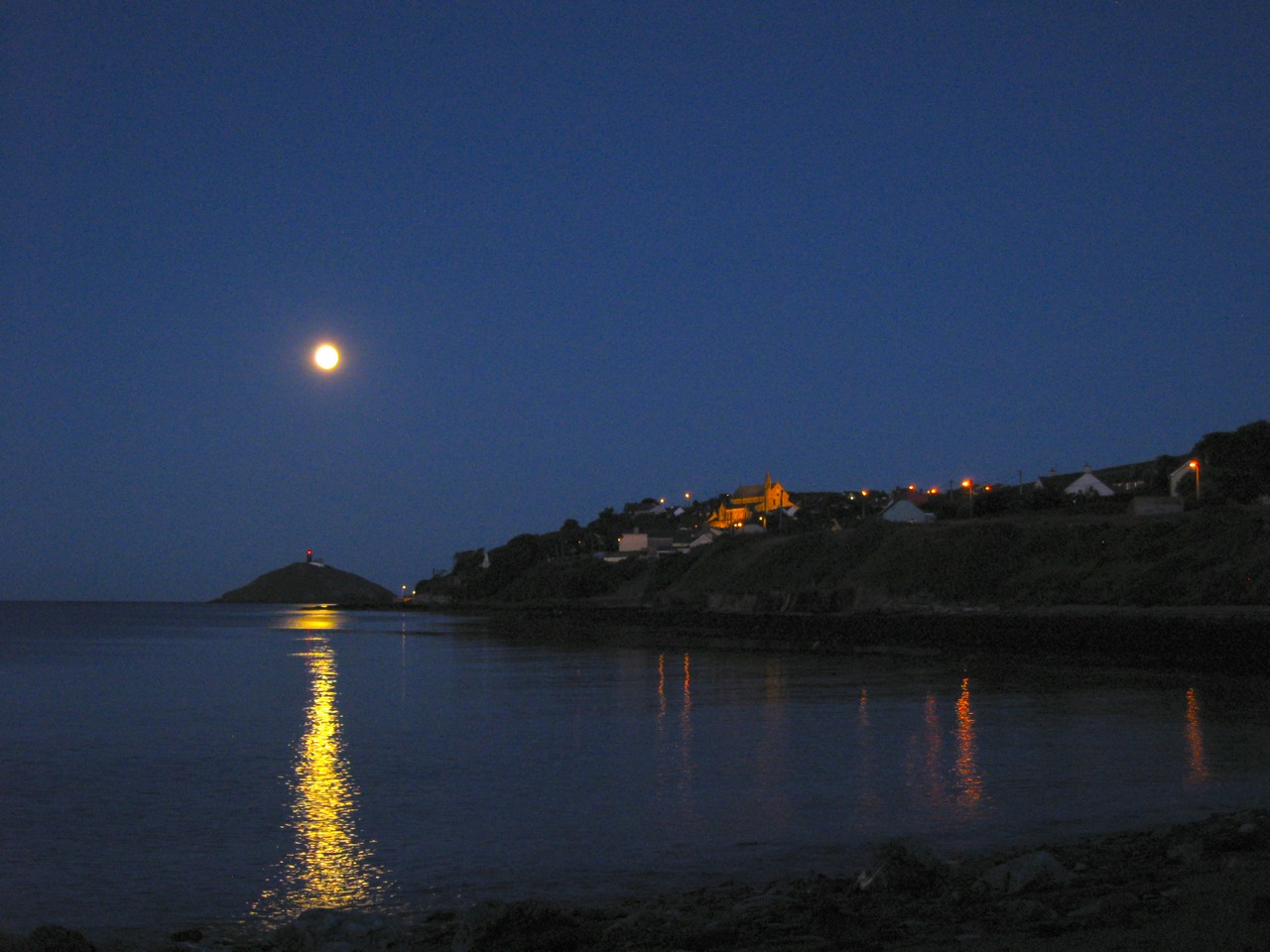
I’m reminded of this because Google Inc. recently opened Street View to the country of Ireland. Almost every road and boreen has been mapped and it all now comes to us in full 360 degree panoramas, each image no more than 10 metres apart, covering 80,000 kilometres of roadway; terabytes upon terabytes of information freezing the Ireland of 2009 and 2010 in perpetuity.

What a treasure trove of information for the future historian. It is now possible for our children’s children to see Ireland exactly as it was during this time. They will see our dress, our cars, our gardens, our farms and our workplaces. They will witness history in the making as the Irish boom economy shuddered to a dramatic halt: the newly constructed motorways and bridges alongside the empty buildings and ghost estates; the Polish and Lithuanian shops that signified a new era of multiculturalism and the wind turbines making their appearance over the landscape as we began the painful process of weaning ourselves off the seductions of fossil fuel.

Presumably these Street View images will be updated regularly, so not only will it be possible to see Ireland as it once was, but also how our country changes gradually throughout the century. I’m assuming, of course, that all these records will not be erased; a reasonable assumption should Moore’s Law continue to hold sway over the coming years.
If there is a snag, it is that all this data is the property of a successful private company whose primary interests do not necessarily coincide with those of the citizens of a sovereign state. Although there is no sign that Google are carrying out this mapping effort with anything other than the best of motives, whether they will continue to act benevolently and responsibility with such information is a difficult question to answer. A hundred years is a long time – long enough for industries to grow and disappear and for companies to change utterly from what they once were, if they exist at all. Public information – photos of many the roadways throughout the world – has been privatised. Governments should now be thinking about how that information should be placed, eventually, back into public hands.
With Street View, Google have created a resource of unimaginable value for future historians. Here’s hoping it’s there for all to see in the years to come.
