I’m back from a three day sojourn in south Kerry, walking 71 km in aid of cancer research. The format of the event this year was different from previous years, in that we were based in the same location for the whole weekend, with all walks terminating in Kenmare. We were brought to our starting point by bus from Kenmare each morning. (Kenmare is a smashing little town in south Kerry, a short distance from some of the most superb scenery in the country. If you are thinking about a trip to Ireland, it is an absolute must-see).

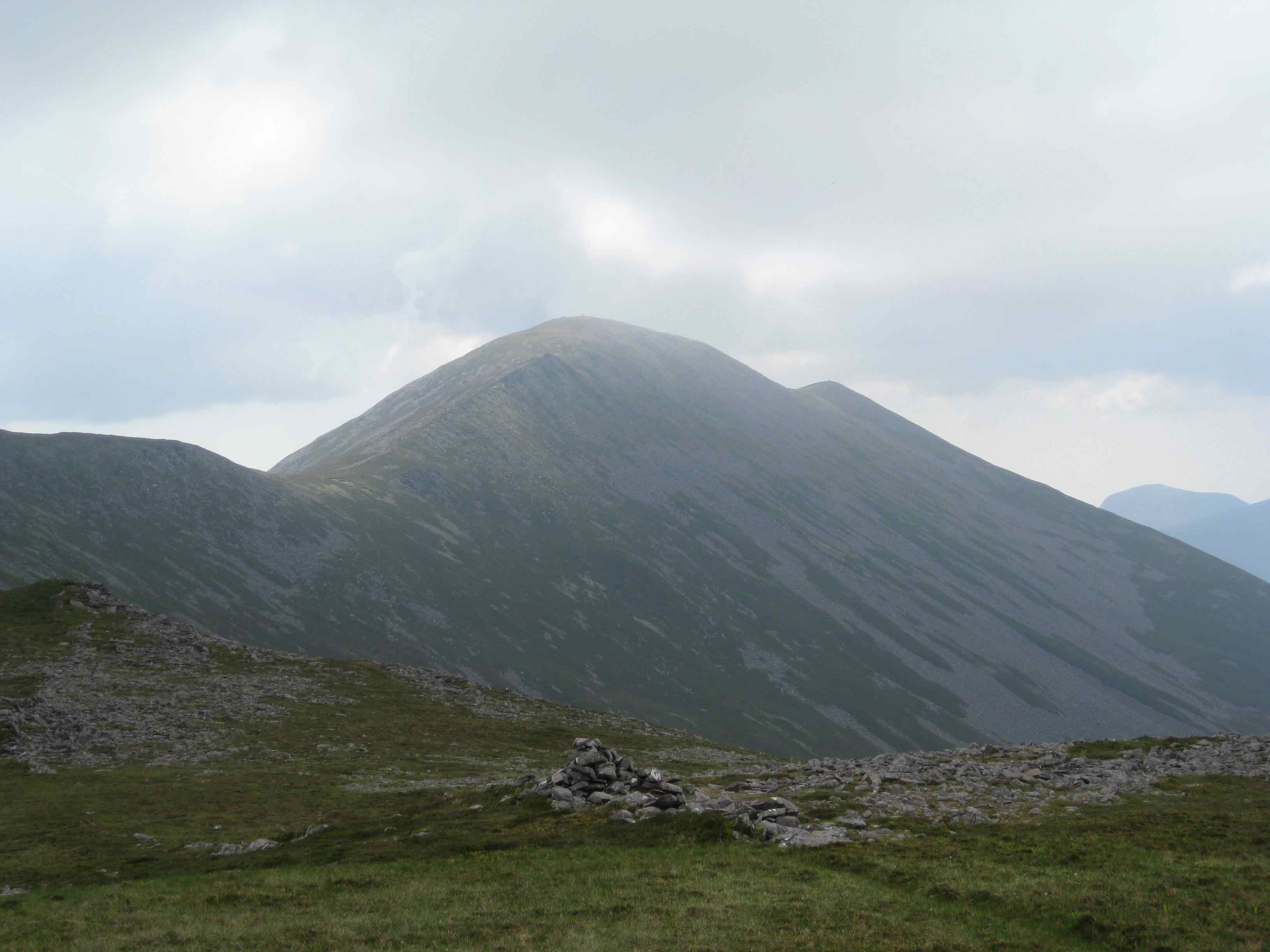
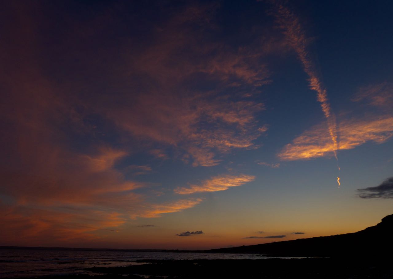
Moll's Gap
On Friday we travelled from Moll’s Gap to Kenmare. It was a relatively easy road walk, with the final few kilometers trudging through the hills above Kenmare. The distance was 17km, so it wasn’t too difficult. Conditions on the hills were very wet (no surprise given the rain of the last few weeks).

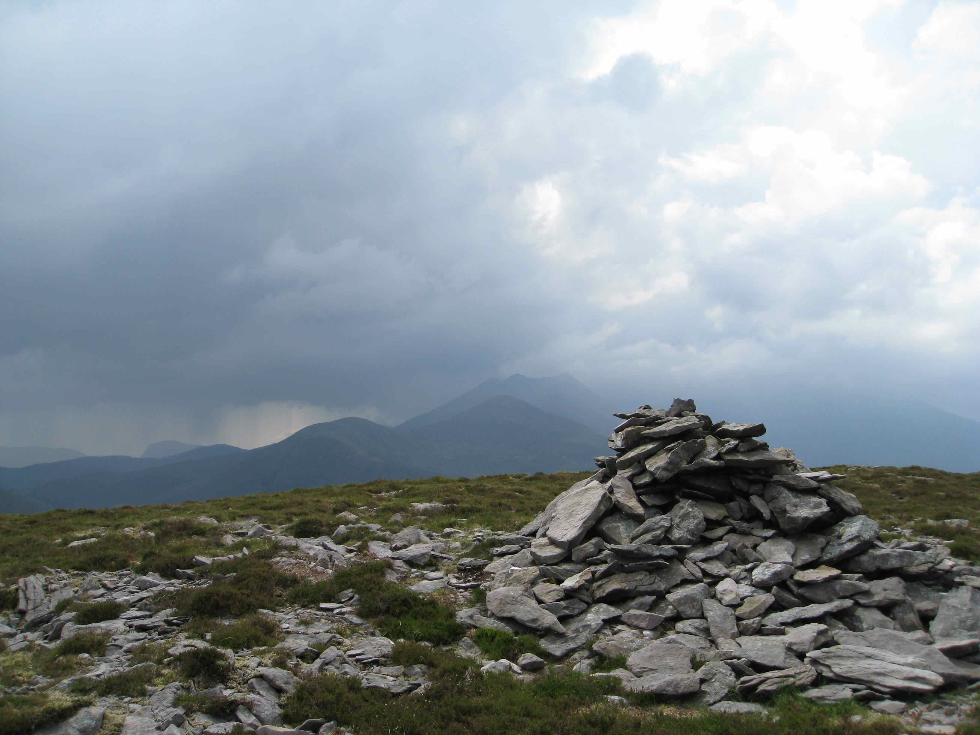
Lauragh to Kenmare
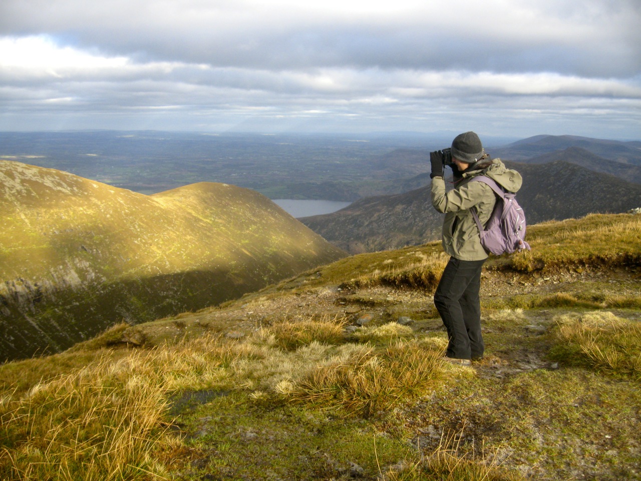
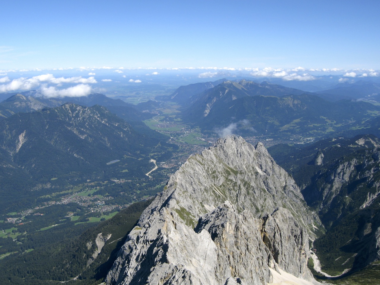
Saturday was the most challenging walk. We started out from Lauragh in the Beara Peninsula, and we had to overcome two hills and a long road-walk before we arrived, exhausted and footsore, into Kenmare about 8 hours later. The conditions were quite challenging, in that the ground underneath was either rocky, or very loose or sodden wet. Nevertheless the scenery was spectacular, the temperature was just right and the rain stayed away.

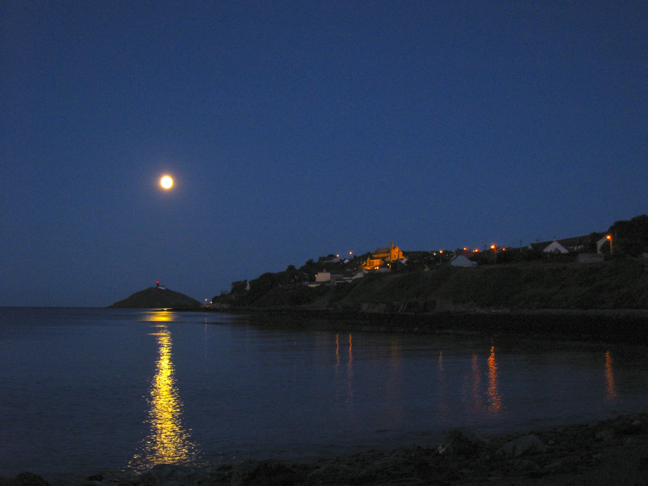
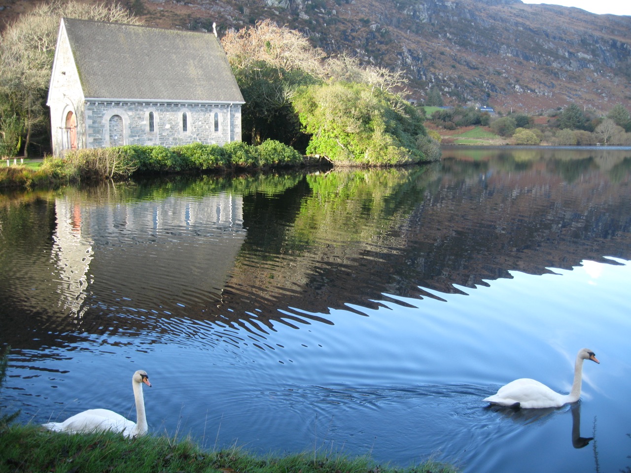
Old Kenmare Road
Sunday was the last of the walks, from Torc Waterfall outside Killarney to Kenmare along the Old Road. This is an absolutely fantastic walk, although not for the faint-hearted. It’s a trek of about 21 km, but at times the scenery looks like something out of Disneyland. The most challenging part of the route was the end – a steep incline then decline on hard road, when my feet were shouting at me “no more”! Sunday was our wettest day. In Kerry they don’t get the kind of rain we are used to. They don’t do drizzle, or moist weather, or soft days. No, in Kerry it’s the Real Thing. From dry to drenched in 0.6 milliseconds.

All in all, a fantastic three days. I feel great from the walk, the company was great and I have to say that the organisation was fantastic throughout. I’ve had enough bananas and flapjacks to last me a lifetime.
If you would like to do something big for charity in 2010, or you just want a weekend to remember, this is the thing to do!


